
Help Us Preserve the Health of Mille Lacs Lake and its Neighboring Waters
Join your neighbors, expert presenters, and our local agency and government partners at one of MLLWG’s regular meetings. These meetings are typically streamed in the morning of the second Monday of the month and are open to anyone interested the health of Mille Lacs Lake and the waters flowing into it.
Our next meeting will be Monday, July 13, from 10 to 11:30 a.m. CT on the Zoom platform. The public is invited to attend! Email us at MilleLacsWatershed@gmail.com to obtain an agenda and meeting link.
Our 2026 Healthy Land, Healthy Lake Expo is now history!
Thanks to everyone who joined us for this fun, hands-on event that was held Saturday, May 2, at Tulibee Tavern in Wahkon, MN. See our Expo page for all the details.
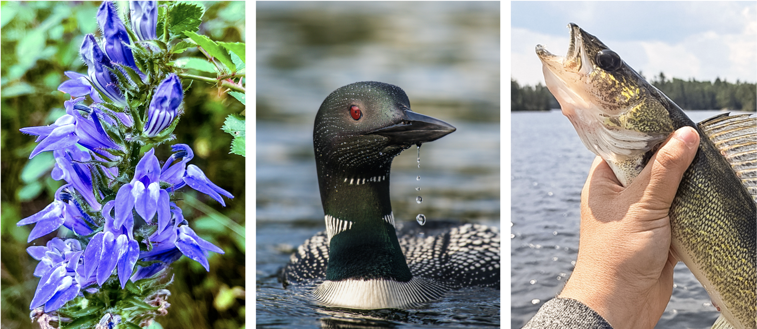
Flora and Fauna and Fish, OH MY!
Exciting News! We’re Officially a 501(c)(3) Nonprofit
We’re delighted to share that the Mille Lacs Lake Watershed Group (MLLWG) is now a 501(c)(3) nonprofit organization. This means your financial donations are tax deductible to the extent allowed by law.
With your contribution, we look forward to strengthening our efforts to bring together property owners and agencies to improve the region’s water quality.
Donations may be made online on our GiveMN page.
You may also mail us a check made out to “Mille Lacs Lake Watershed Group” to:
Mille Lacs Lake Watershed Group
12722 350th Street
Onamia, MN 56359
The Mille Lacs Lake Watershed Group’s Work
MILLE LACS LAKE in east central Minnesota is a crown jewel among Minnesota’s lakes. Long recognized as one of the premier walleye-producing lakes in the world, it provides many additional recreational opportunities.
Although Mille Lacs enjoys relatively good water quality, the lake is vulnerable. Fertilization of the lake from natural causes and ones related to development of the shoreline and watershed is a concern, and aquatic invasive species create new threats to the lake’s waters.
The Mille Lacs Lake Watershed Group was formed in 1997 to address these risks and preserve the health of our waters. Since then, we have received grants from the Minnesota Pollution Control Agency, Minnesota Department of Natural Resources, Minnesota Board of Water and Soil Resources, and many other partners. Funds have helped execute projects that protect and improve water quality, provide educational opportunities for landowners, and monitor water quality
Email us at MilleLacsWatershed@gmail.com to join our email list and receive regular meeting announcements and informative articles about lake health
Learn More!
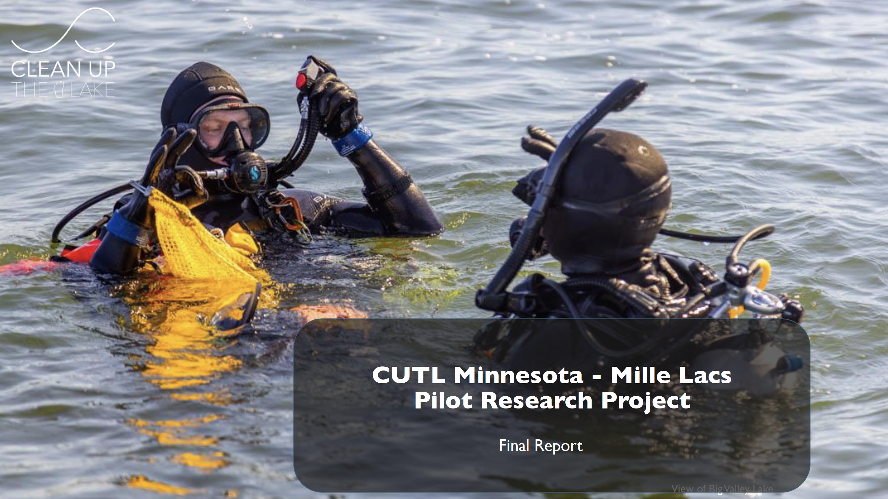
Clean Up the Lake crew explores trash “hot spots” in Mille Lacs
Divers checked out a number of sites around Mille Lacs Lake in September, 2024, to assess the locations and types of garbage littering the lake bottom. Their 20-page report is now available to download. (Visit the Learn More page to access all our informative articles.)
Our Partners
Contributing Partners
Aitkin, Mille Lacs, & Crow Wing Counties
Aitkin County Board of Commissioners
Aitkin County Lakes and Rivers Association
Aitkin County Soil & Water Conservation District
Area Townships
Cities of Garrison, Wahkon, and Isle
Crow Wing County Soil & Water Conservation District
Mille Lacs Area Tourism Council
Mille Lacs Band of Ojibwe, DNR
Mille Lacs Soil & Water Conservation District
Minnesota Board of Water & Soil Resources
Minnesota Department of Natural Resources
Minnesota Lakes and Rivers Advocates
Minnesota Pollution Control Agency
Round Lake Association, Aitkin & Crow Wing County
USDA Natural Resources Conservation Service